


THE JHARKHAND STORY NETWORK
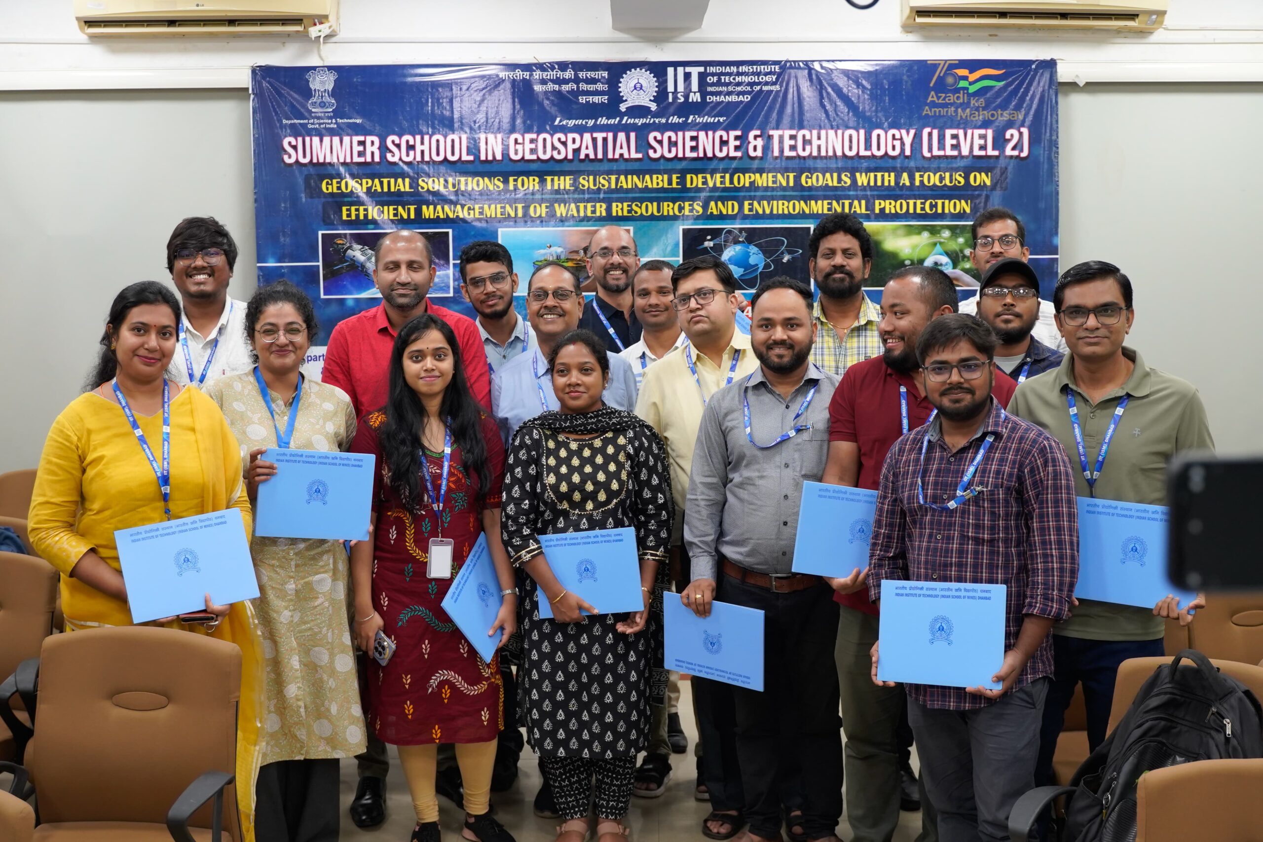
Dhanbad, July 4: The 21-day summer camp in Geospatial Science & Technology concluded at IIT Indian School of Mines (ISM) Dhanbad on Thursday.
The summer camp was organized by the Department of Civil Engineering of IIT (ISM) in association with the Department of Environmental Science & Engineering and the Centre for Water Resource Management.

22 professionals participated in the camp
A total of 22 participants, including faculty members, research scholars, industry professionals, project assistants, teachers and NGO members from across the country attended the camp and were provided training in technical skills of various tools and techniques of Geospatial Science and Technology.
Prof Sukumar Mishra, director of IIT (ISM), who was the chief guest at the closing function, while addressing said that the IOT-based approach taught in the 21 days of the summer school will give a lot of data and participants must have been exposed how to capture data and bring some information out of that data.
Also Read- Hemant Soren takes oath as Jharkhand CM

Time for India
He further said that it is now the time for India to go towards the NAVIK for all the geo-positioning and other things.
Prof Srinivas Pasupuleti, HoD, Civil Engineering and Principal Investigator of the project in the welcome address said in the three-week programme there were 66 sessions, 48 lecture sessions and 18 practical sessions apart from project works on various themes of sustainable development goals.
“The course was conducted to provide the exposure and enhance the technical skill of the participants towards various tools and techniques of the geospatial Science and technology by using open-source software via hands-on sessions”, he said.
Advanced concepts of geoinformatics
Prof Pasupuleti said the summer camp provided a comprehensive introduction to participants about fundamentals and advanced concepts of geoinformatics and demonstrated how geospatial techniques can be effectively utilized to solve real-world problems through imparting technical knowledge.
Prof SR Samadder, co-principal Investigator of the project, proposed a vote of thanks.
