CMPDI Ranchi begins drone survey of gas leakage in Putki Balihari Colliery
Dhanbad, Dec 12: A high-level expert team from the Central Mine Planning and Design Institute Limited (CMPDIL), Ranchi, has begun a…
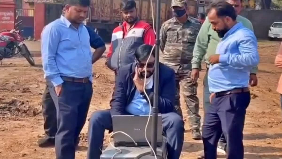
Dhanbad, Dec 12: A high-level expert team from the Central Mine Planning and Design Institute Limited (CMPDIL), Ranchi, has begun a drone survey of gas emission-affected spots in the Putki Balihari Colliery area of Bharat Coking Coal Limited (BCCL).
Bhubnesh Kumar Gupta, Geology Manager of CMPDIL Ranchi and team lead, said the survey is being conducted on the directive of BCCL to determine the cause of gas emissions, identify leakage points, and find ways to control the emissions. Team members Ashok Kumar and Sandeep Hazra are covering a 400-metre radius around the affected areas.
Also Read- Aviation Minister reviews fog season plans of airlines, DGCA sacks 4 FOIs over IndiGo chaos
“We are collecting data from the affected zones and will submit it to our Ranchi office, where experts will analyze it and propose solutions to control the emissions,” Gupta added. He estimated that analyzing the drone survey data will take around 15 to 20 days.
Survey of Houses and Residents
Gupta stated that, in addition to identifying gas leakage points, the drone survey is also being used to map the actual number of houses and residents in the dangerous zone.
While agencies such as IIT-ISM, the Central Institute of Mining Fuel Research (CIMFR), the Directorate General of Mines Safety (DGMS), and the Disaster Management wing have previously surveyed the gas leakage, none had assessed how many homes and residents were affected during the 11 days of ongoing gas emissions.

Also Read- Veteran Congress leader and ex-Home Minister Shivraj Patil passes away
Thermal Gun Assessment
Alongside the drone survey, the CMPDIL team is conducting thermal gun measurements to record temperatures in the affected areas.
“The maximum temperature recorded was 22 degrees Celsius, which is normal for the winter season in this region. Had higher temperatures been observed, it could have indicated the impact of gas emissions. Therefore, it is clear that the gas emissions have not affected the temperature in the area,” Gupta explained.